Big Sur is burning again. When the Timber Fire ignited in the steep highlands east of Loma Vista within the Los Padres National Forest, it didn't just threaten local brush—it tapped into a landscape uniquely hostile to modern suppression tactics.
If you've ever tried to hike the Ventana Wilderness, you know the terrain is brutal. Now, picture trying to move heavy equipment, hand crews, and hose lays up vertical ridgelines while erratic winds push a 25,000-acre blaze toward Manuel Peak. Firefighters aren't just battling the flames; they're fighting a geography that constantly favors the fire.
The Geography Trap That Keeps Defeating Crews
Wildfire behavior changes drastically when it hits the upper elevations of Big Sur. Down near the coast, the marine layer often acts as a natural air conditioner, dampening fire spread and giving ground teams a fighting chance. But once a blaze climbs past the 1,000-foot mark toward peaks like Manuel Peak, which rises to roughly 3,500 feet, that coastal protection vanishes entirely.
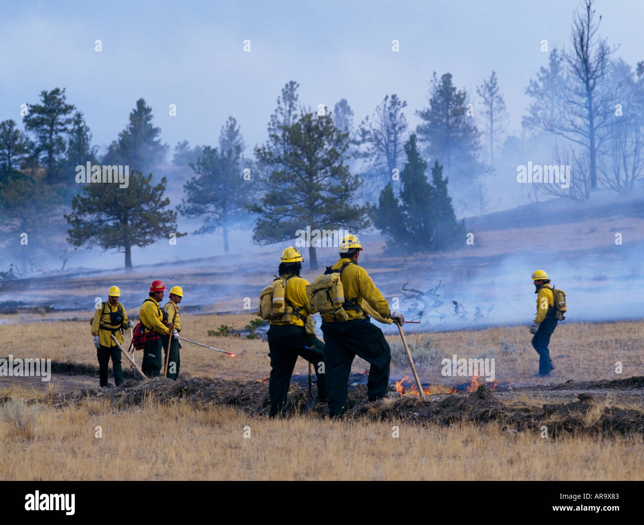
The Timber Fire crossed the Big Sur River and made aggressive, slope-driven runs through rugged canyons like Ventana Creek and Lion Creek. Because much of this backcountry lacks roads or safe anchor points, crews have to rely on indirect lines, tactical firing operations, and sheer grit.
When hot, dry air pushes daytime temperatures into the mid-90s with humidity dropping below 20%, even established control lines get tested to their absolute limits.
Why Containment Numbers Stay Stubbornly Low
You look at the updates from CAL FIRE and see containment hovering around 27%, and it's easy to wonder why progress feels so painfully slow. The answer comes down to access and fuel loading.
- Impenetrable Terrain: Much of the active perimeter sits in canyon bottoms and cliff faces where ground crews simply cannot walk safely.
- Heavy Dead Fuels: Years of drought have left behind dense timber and dry brush, creating high-intensity pockets that burn long after the main front passes.
- Spotting and Flare-ups: Pockets of heat constantly reignite under afternoon thermal updrafts, sending embers across contingency lines.
During past incidents like the Dolan and Carmel fires, crews learned that stopping a Big Sur blaze in the backcountry is nearly impossible once it gets rolling. Instead, tactical strategy often forces firefighters to fall back toward pre-established fuel breaks closer to the front-country and Highway 1 corridors, protecting human lives and infrastructure first.
The Human and Economic Toll on the Coast
Beyond the scorched earth, the Timber Fire has brought intense economic whiplash to a region already reeling from natural shocks. The fire flared up just as Monterey Car Week wrapped up, forcing emergency highway closures, throttling tourist traffic, and cutting off local businesses from their lifeblood.
Nearly 1,100 residents faced evacuation orders, and even endangered wildlife like the rehabilitated California condors at the Big Sur sanctuary found themselves directly in the path of the smoke before emergency escorts freed staff to clear the area. When the highway closes and resorts empty out, hourly workers lose wages, local lodges lose reservations, and the entire community holds its breath until the wind shifts.
Success here depends entirely on weather cooperation and whether containment lines around Manuel Peak can hold the western push. Until the next heavy marine surge locks in, crews will keep grinding out steep, exhausting containment lines foot by foot.