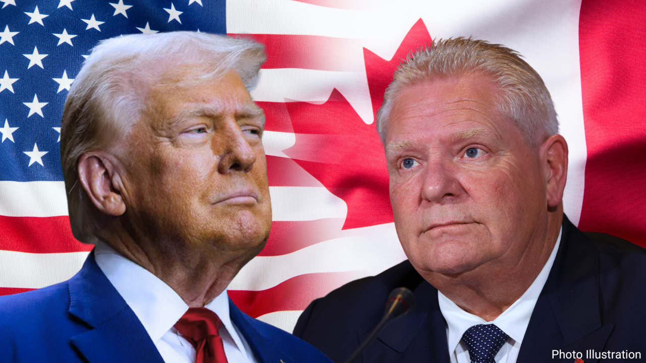
Geopolitics usually happens in smoke-filled rooms, trade tariffs, or behind closed diplomatic doors. Sometimes, though, leaders decide to fight their battles directly on your smartphone screen. When Donald Trump signed an executive order shifting the official U.S. designation of Lake Ontario to Lake America, most people wrote it off as standard political theater. But within days, tech giants like Google and Apple bent to the directive, updating their digital mapping databases for American users.
This isn't just about cartography. It's a textbook case of how modern economic warfare bleeds into everyday software, public identity, and cross-border relations. If you've been wondering why everyone is suddenly arguing over a body of water, you have to look past the funny headlines and examine the actual leverage at play here.
The Cartographic Battleground
Let's clear up how this actually works on your devices. Google Maps and Apple Maps didn't invent this name change out of thin air. They rely on official government databases like the U.S. Geographic Names Information System (GNIS). Once the federal government updates its internal registries, these corporations follow standard protocol to align with local official identifiers.
For users sitting inside the United States, your phone now labels the water body as Lake America. Cross the border into Canada, however, and the map stubbornly stays Lake Ontario. If you're anywhere else in the world, you'll see both names jammed together.
Big Tech companies try to play neutral by splitting the difference based on geolocation, but they're caught right in the middle of a messy geopolitical spat. Not everyone caved immediately, though. MapQuest publicly refused to comply with the federal directive, offering users the choice to name the water whatever they wanted. That act of defiance sent the legacy navigation app skyrocketing to the top of the app store charts, proving that people love a corporate underdog story during political flashpoints.
Why Canada is Furious
Canada didn't take the rebranding lying down. Prime Minister Mark Carney immediately dismissed the move, pointing out that the name Ontario carries deep Indigenous roots from the Huron word oniatarí:io, meaning "lake of shining waters." It's a name that predates both the United States and Canada by centuries.
Ontario Premier Doug Ford took a much more visceral approach. He unveiled a massive physical sign along the Canadian shoreline declaring the water to be Lake Ontario. Now and Always.
The name change didn't happen in a vacuum. It arrived right alongside a brutal escalation in trade disputes, including hefty tariffs slapped onto billions of dollars worth of Canadian exports after trade talks collapsed. Trump basically signaled that if economic cooperation breaks down, the diplomatic gloves come off everywhere—including on official maps.
What This Means for Global Mapping
We like to think of digital maps as objective truths of the physical world. They aren't. Maps have always been political tools shaped by whoever holds the power to draw them. When governments demand changes, tech platforms face an impossible choice between local legal compliance and international reality.
If you're tracking how national disputes spill into the digital age, keep an eye on how other countries respond when superpowers start playing cartographic chess. Borders can be negotiated, but when nations start renaming shared geography unilaterally, digital navigation becomes the new front line.
Trump signs order changing Lake Ontario to 'Lake America'
This video provides an authentic look at the presidential announcement that triggered the ongoing map updates and international disputes.
http://googleusercontent.com/youtube_content/1